Perhaps the most beautiful location in the Cascades
Date: August 19-21, 2022
Plan: An expedited 3 day trek along the Ptarmigan Traverse climbing some of the most iconic mountains and finishing with a summit of Dome Peak.
Where: Glacier Peak Wilderness, WA
Parked: Cascade Pass (and Downey Creek Trail Closure for Car Shuttle)
Elevation Gain: ~17,000 ft
Distance: 40 miles
Total Time: ~60 hours (ignoring the additional 16 hours or so of driving)
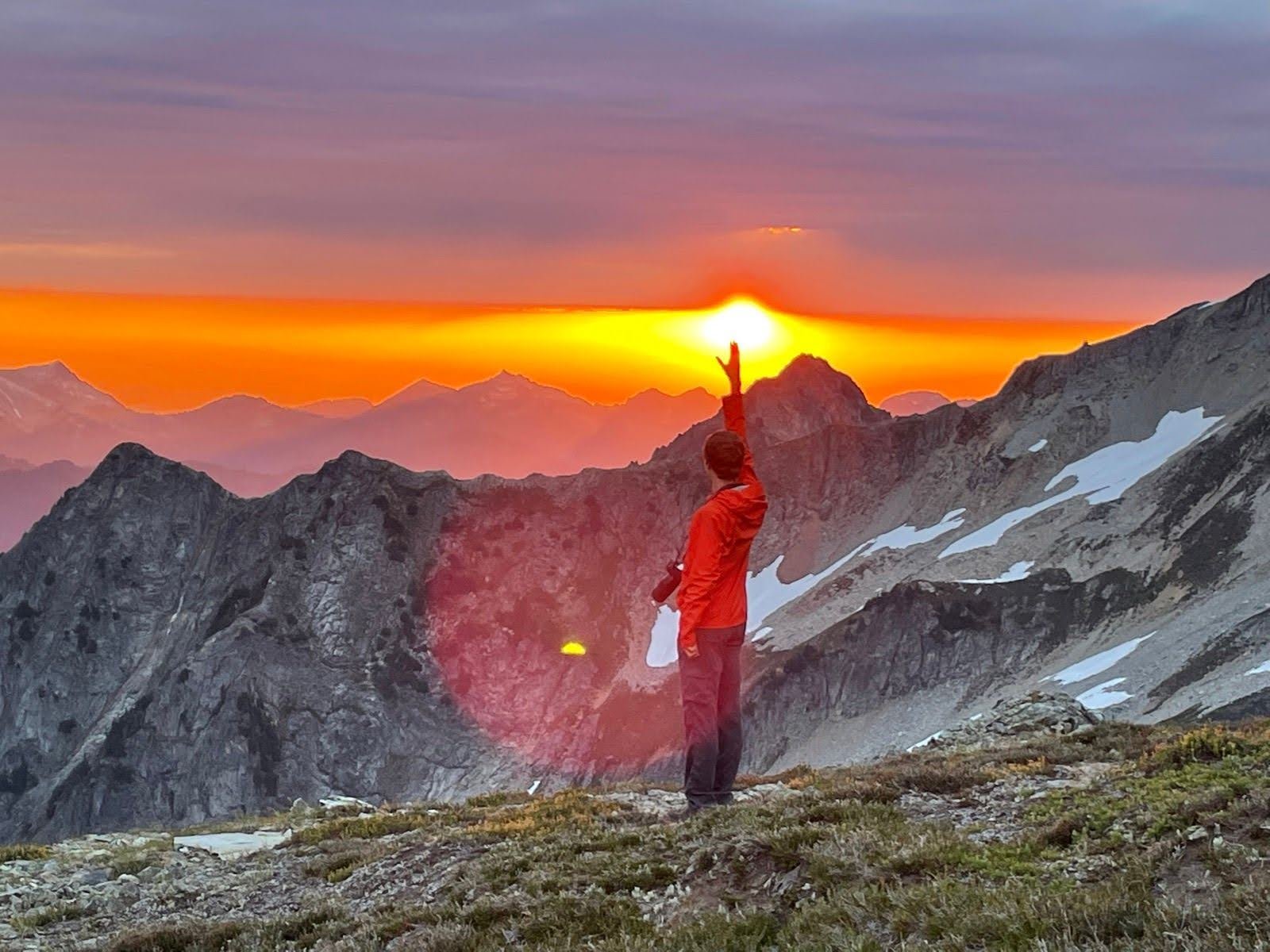
Sun Horizon Collisions: 7 (Only 4 that were memorable
Summary: Everything you’ve heard about the Ptarmigan Traverse is true from the spectacular views to the unforgettable experiences to the horrendous bushwhack. Over three days we had a couple incredible golden hours as we climbed Hurry-up, Formidable, and Le Conte Peaks before getting stuck behind a fallen log.
The second half of the traverse lies out ahead of us from the summit of Formidable
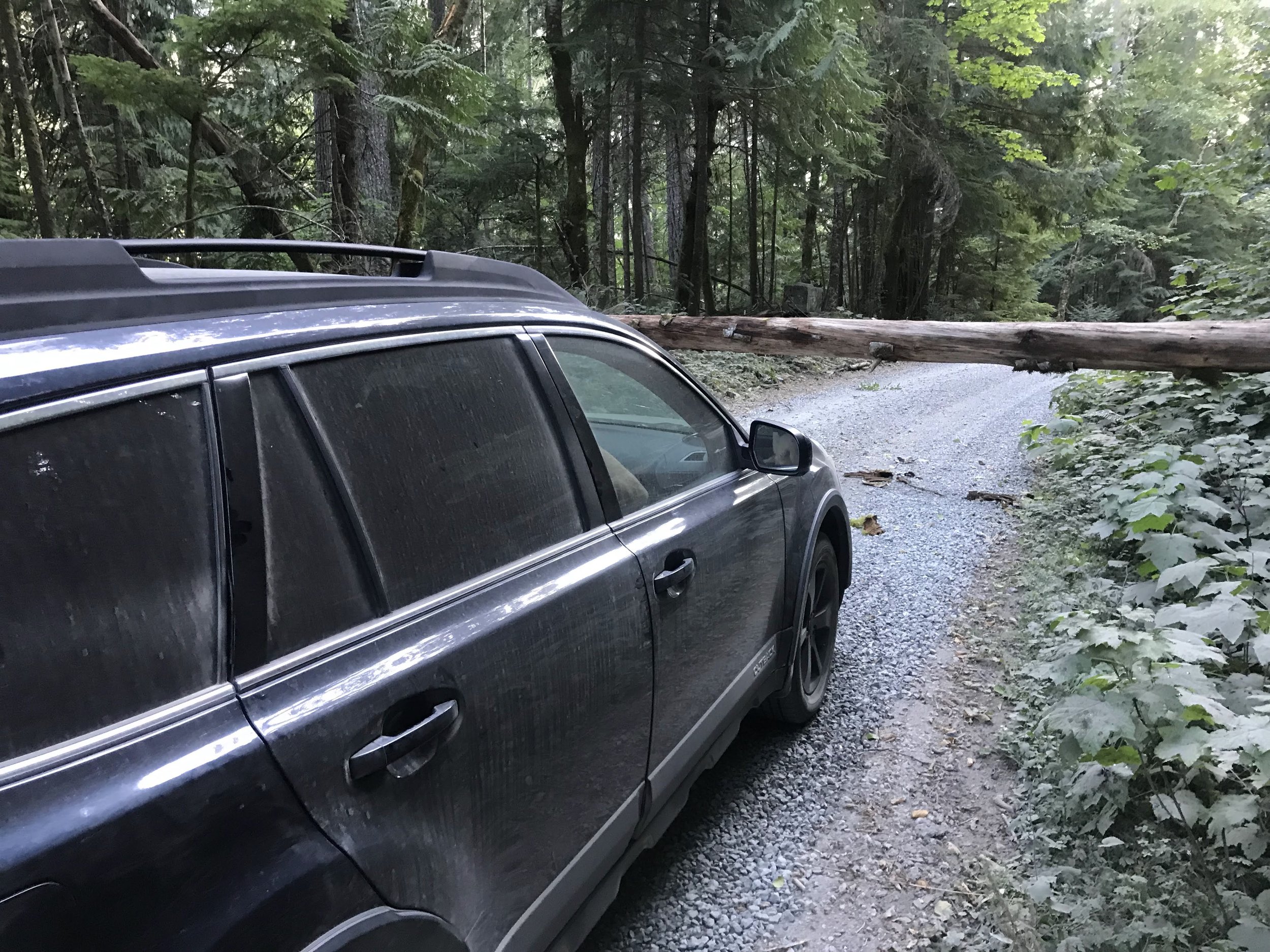
We cannot be more stoked. Despite having to save Dome Peak for another adventure, we've finished the bushwhack, passed through the charred forest, and have now reached the car relatively early in the evening. Plenty of light remains and even with the long car shuttle ahead of us we'll surely be back in our beds at a respectable time. Hopping in the car and beginning to drive off we fantasize about meals we might pick up—mexican? burgers? korean?—and are already reminiscing about the trip. And then Ken swears and slows the car to a stop. I look up and my heart sinks. A medium tree, about a foot in diameter, has fallen and is blocking the road at waist height. On the left it’s wedged between two thick tree trucks and on the right it’s still firmly attached to the splintered trunk. "Do you have a saw in your trunk?" I ask as I kick the tree and it refuses to budge.
At least this stunning sunset made the car shuttle more interesting
Day 0: Car Shuttles < Space Shuttles
The worst thing about the Ptarmigan Traverse is the car shuttle. If you have really good friends you should trick them to into going hiking at Cascade Pass and taking you along for the ride. Otherwise the 3-4 hours of redundant driving at both the start and end of your trip is a little tiring. In the scheme of things it isn’t terrible (it’s significantly less driving than a weekend trip from the Bay Area to Tahoe), but when you’re starting out so close to home, four hours feels like so much longer. It’s Thursday afternoon and I’m meeting up with Anthony Marra and Ken Tharp for a three day trek across the legendary Ptarmigan Traverse from Cascade Pass to Downey Creek. With poor weather scaring us off our previous plan to hit the Golden Hinde on Vancouver Island, this seems like an adequate consolation prize.
I pick up Anthony in Hamilton and we make the hour plus drive up the Sauk/Suiattle Valleys to where we're meeting Ken. About an hour after arriving we’ve dropped one car off at the Downey Creek road closure and we’re trundling back along the road to head to Cascade Pass. Neither I nor Anthony have met Ken before, which seems like it could be disastrous when going on a multi-day mountaineering trip, but Anthony believes Ken is up to the task. By 10 p.m. we’ve reached the 3,500' parking lot where the warmth from the previous heatwave still lingers. It’s t-shirt and short weather throughout the night, I’m not sure it even drops below 60F, which makes us question whether we’re really in the Cascades. A quick glance to the glaciers hanging overhead assuages our fears and we settle into a toasty sleep.
Overcast skies greeted us on our way up to Cascade Pass
Day 1: Of Ptarmigans and Glaciers and Goats (Cascade Pass —> Formidable Col)
The day dawns humid and murky. There’s been wildfire smoke lurking in the Cascades for the last couple afternoons although it’s supposed to get blown out by the evening. The previous night we talked about a sunrise start, but without an excessively long day ahead we hit the trail about 7. Before we set-off our bags are weighed. It’s no surprise that the guy bringing a tripod and two lenses somehow has an extra ten pounds in his bag. Perhaps someday I’ll learn to pack light, but so far I’ve never shirked away from extra weight. It’s certainly not very noticeable on the notoriously gradual switchbacks up to Cascade Pass. We reach the pass in just under 80 minutes and split from the last maintained trail (and toilet) we’ll see for the next three days.
The first time I was up on Sahale Arm in 2020 I remember looking south and seeing the Ptarmigan Traverse "trail" cut through the heather and towards Cache Col. I saw the trail on the map and that eventually inspired me to read up as much as possible on the famed traverse. The original traverse was completed South to North in July 1938 by teenage members of the Ptarmigan Climbing Club. Today it’s renown as one of the premier mountaineering traverses in the Lower 48 and is completed by a dozen or so people every week in July and August. After two years of thinking about this route, it was cool to be taking my first steps on the traverse.
After Cascade Pass, the popular trail heads up Sahale Ridge and towards Sahale Peak (right center). Forbidden peak hangs in the background.
Not much snow on the first day of the traverse other than the glaciers
One of the sketchiest snow crossings of the entire trip arrives less than a mile off the main trail. Despite a warm and humid, distinctly uncascadian morning, somehow the snow has remained quite firm. Both Anthony and I have made the decision to do the traverse in trail runners and while this snowfield (only a couple hundred feet across) isn’t actually very challenging, in running shoes it becomes slightly spicer. After inching my way across following Ken’s footsteps, I’m persuaded to be slightly less lazy and maybe actually wear crampons for any future crossings.
Cache Col Glacier has never been particularly large, but now it’s little more than a blue ice patch. The col is where the snow touches the sky.
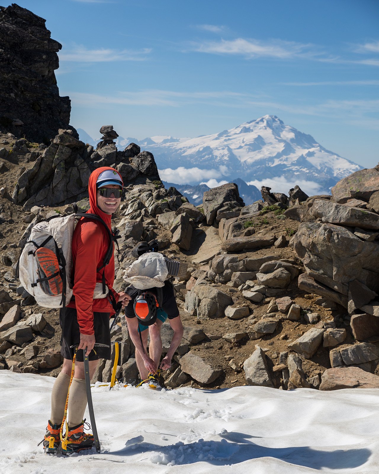
After the harrowing mini snowfield, we approach the harrowing mini Cache Col Glacier. There’s not too much left of this glacier that clings on on just below 7,000’. It wasn’t very big half a century ago, but it’s even smaller now and without seeing any real crevasses risk we forego roping up. However, we are smart enough this time to wear crampons as we ascend the moderate slope to what at times can be a large cornice. Normally the Ptarmigan Traverse is best approached in July, but with the late snow year we felt confident in our ability to cross in mid august and early on our bet seems to be paying off. The cornice has a perfect door placed in it which grants easy access to the wonders on the other side, and wow, despite knowing what I’m getting into I’m still blown away.
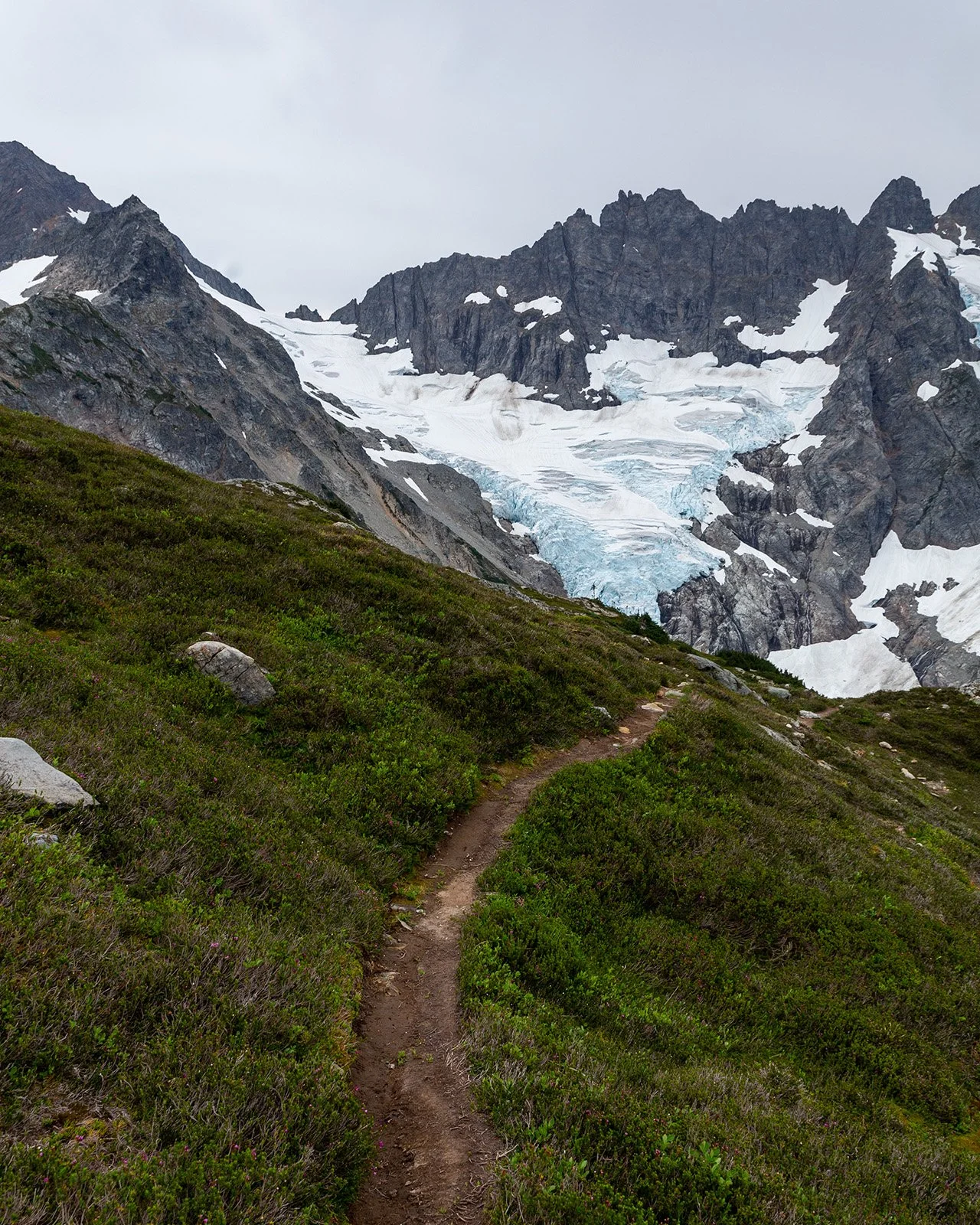
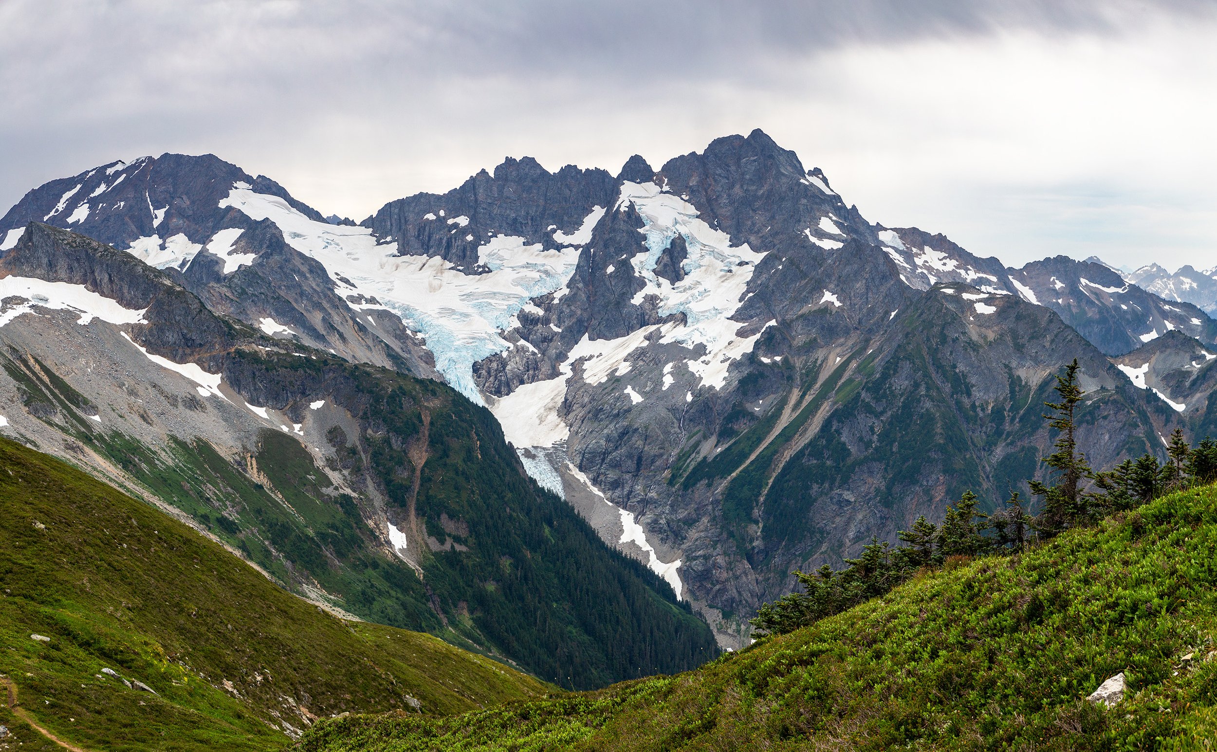
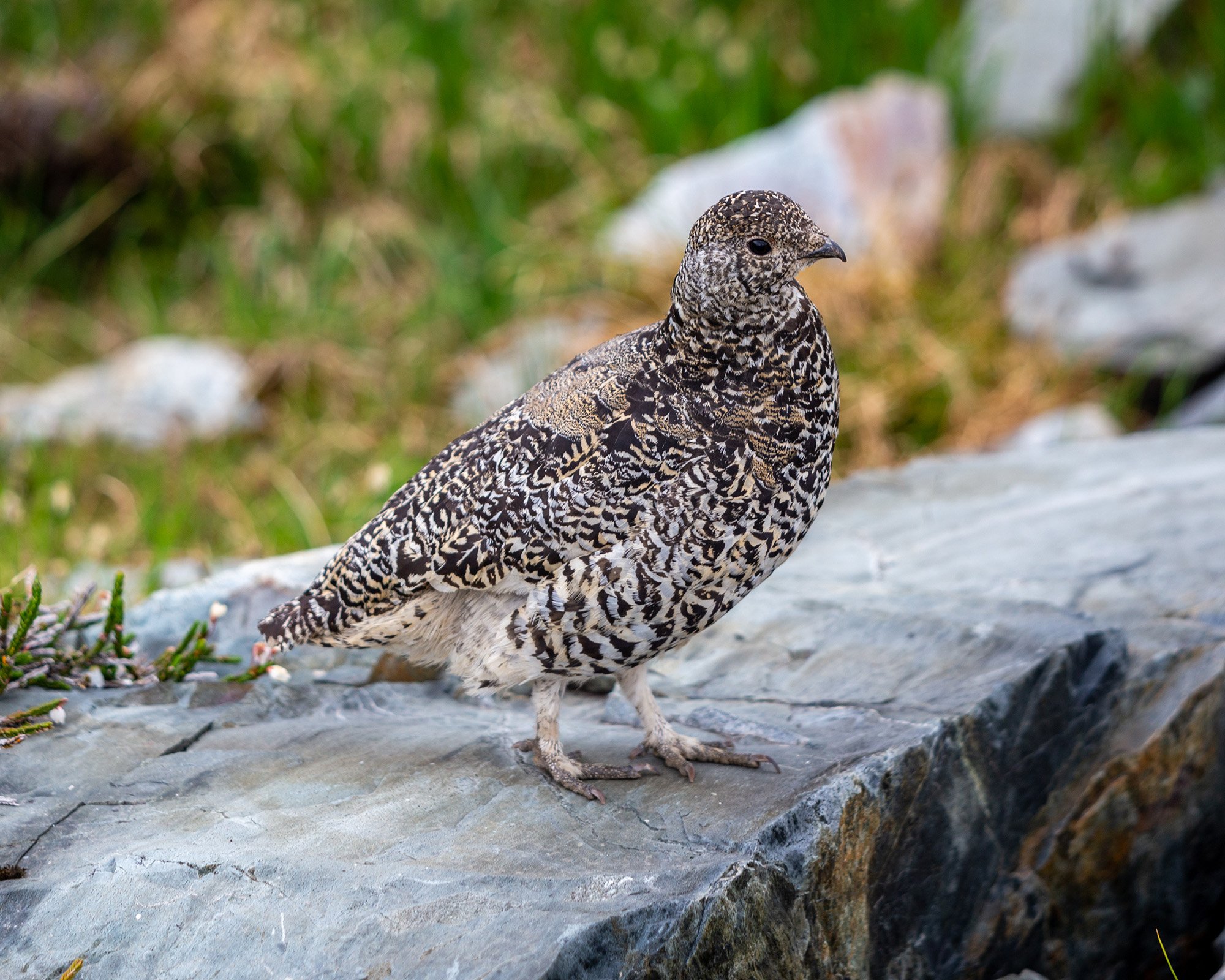
Even considering the stubborn overcast (and slight haze) the view is formidable. Literally (ha ha). Mount Formidable dominates the skyline with the gorgeous cascading Middle Cascade Glacier and its falling icefall (okay I’ll stop now). This col is clearly the transition from most popular trail in North Cascades National Park to wilderness adventure. Yes, a clear trail cuts through the heather, but the terrain ahead suggests challenges that no liability conscious forest service trail builder would dare to surmount. It’s taken us 3 hours to get to get to this spot and we stop for a quick snack break before Anthony and Ken race off. I’m still a little in awe so I nibble my food more slowly and make my way down from the pass. Shortly after I stumble upon a family of Ptarmigan! I guess it’s not the Ptarmigan Traverse without them. The mother and her 3 chicks seem completely nonplussed by my presence, or perhaps the traverse is so popular that they’re accustomed to humans. Mom takes leads her flock on a zigzagging tour of the heather next to the trail, but wait! There’s another kid! This baby ptarmigan seems a little confused. It’s a bit bedraggled and about 70% the size of its siblings as it repeatedly rolls off in the completely wrong direction. Well, I guess there has got to be some food for the goats that frequent the traverse.
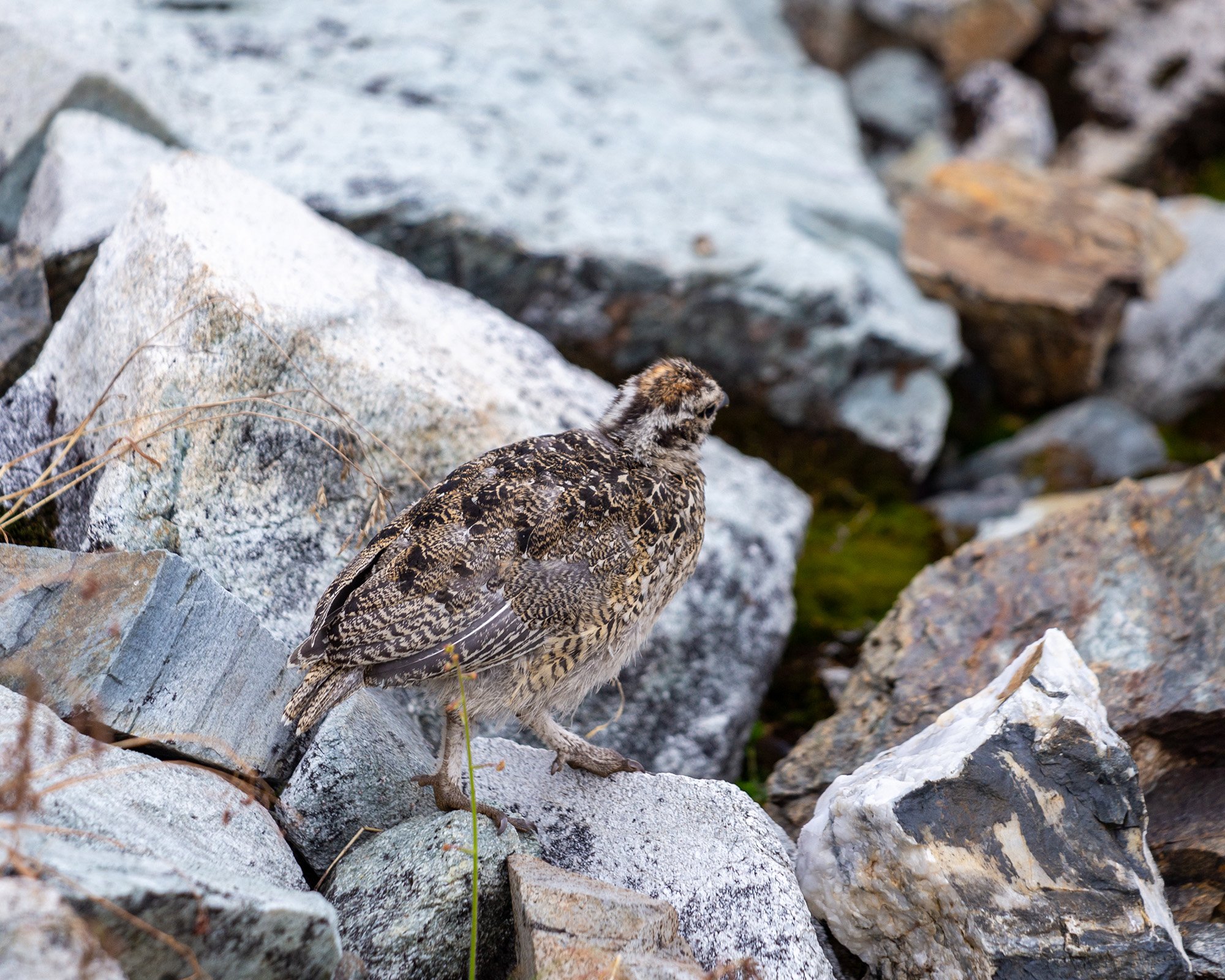
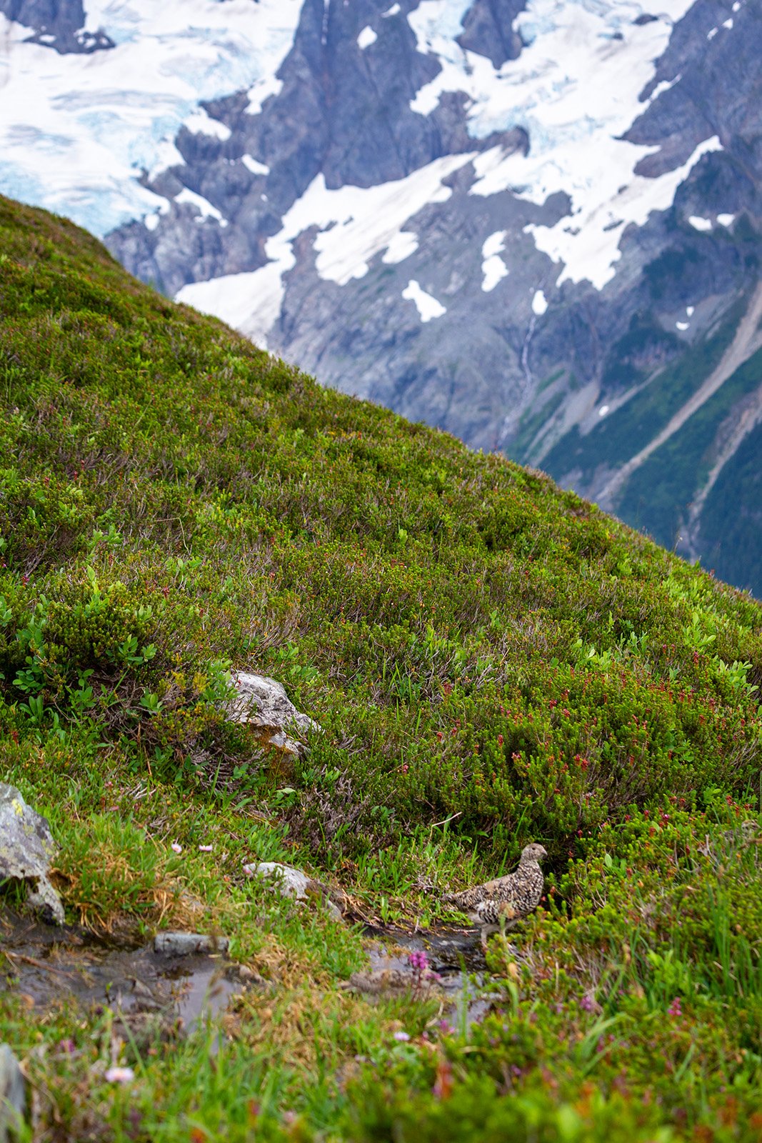

After my turn as a wildlife photographer I hurry to catch up to the boys. The weather so far this morning has been less than ideal. Thank god for high overcast because at least we can see the peaks, but the light could be far better. As I make the 800’ descent to Kool-Aid Lake a light rain begins to fall. Of course, as is universally true, by the time I’ve decided to extricate my raincoat and put it on, the rain has stopped, but dark clouds nearby and cooler temps encourage me to keep it on. For slower hikers the glorified tarn, Kool-Aid Lake, will be the first camp spot on the trek, but with the car shuttle out of the way last night we’re here before noon. We have more ambitious goals. We drop our packs and then split up (don’t worry, as far as I can tell we’re not in a horror movie)—Anthony to climb Magic Mountain while Ken and I ascend the nearby Hurry-up Peak.
Even here there’s a relatively clear tread through the heather, suggesting just how many peakbaggers make it out here. The scramble snakes up along the northwest side of the peak, never getting much above a class 3 move or two and in less than an hour (about a mile) we’re on the summit. Or not. Okay, the internet says we have reached the actual summit, but the Beckey Bible clearly states the southeast summit is slightly higher. Whatever, I’ll probably be back up here some day. The views are good, but not mind blowing, although there’s a fine perspective of Trapper Lake and Magic Mountain (no Anthony visible). As darker clouds move in and scattered raindrops fall we call it and head back down.
Ken pauses as we head up Hurry-Up Peak
Looking East over Trapper’s Peak and Lake with the S Glacier below
Spider (left), Mount Formidable (center), and Middle Cascade Valley (right) from the top of Hurry Up Peak
Ken on the way back down with Eldorado in the background
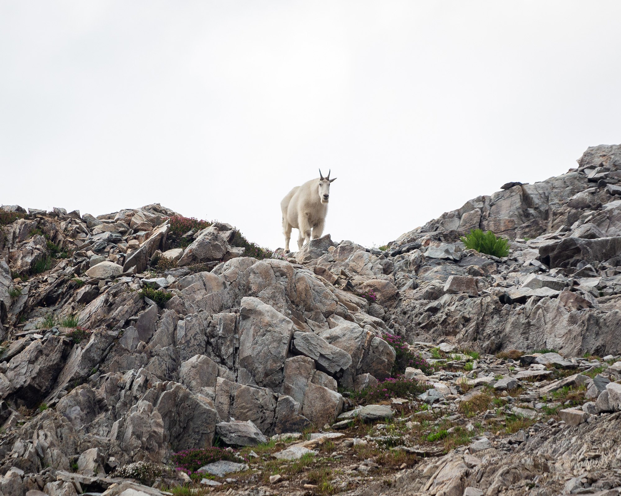
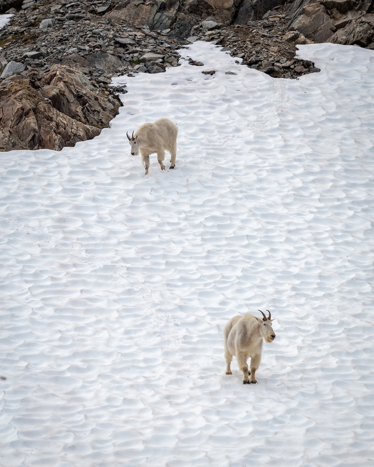
A few hundred feet above Kool-Aid Lake we see that hungry horned ghosts had invaded the campsite! A mountain goat and her two kids strut around the shores of the lake like they own the place (which I guess they do). I rush to try to get those all important goat framed by glacier shots while the goats do everything in their power to foil my plans (like moving around!). Despite their frequency in the high Cascades, I don’t think I’ll ever get tired of hanging around these creatures (foreshadowing). They’re mostly majestic (when not slurping up urine) and as long as they don’t decide to gore me to death like that one Olympic hiker a decade ago, I’ll enjoy their presence. As Anthony arrives from his successful summit we pack up and begin the side traverse to the first big glacier crossing and the goats scatter to do their own little goaty things.

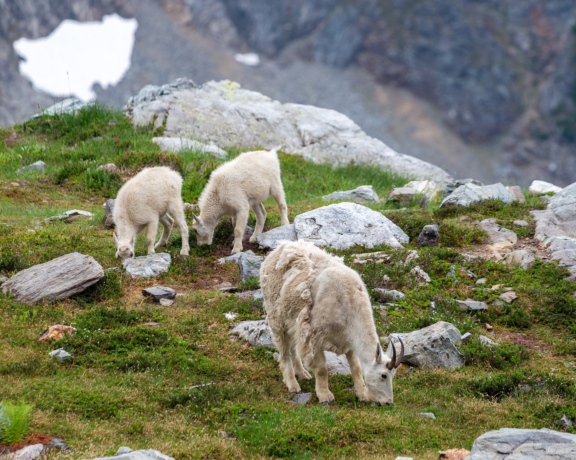
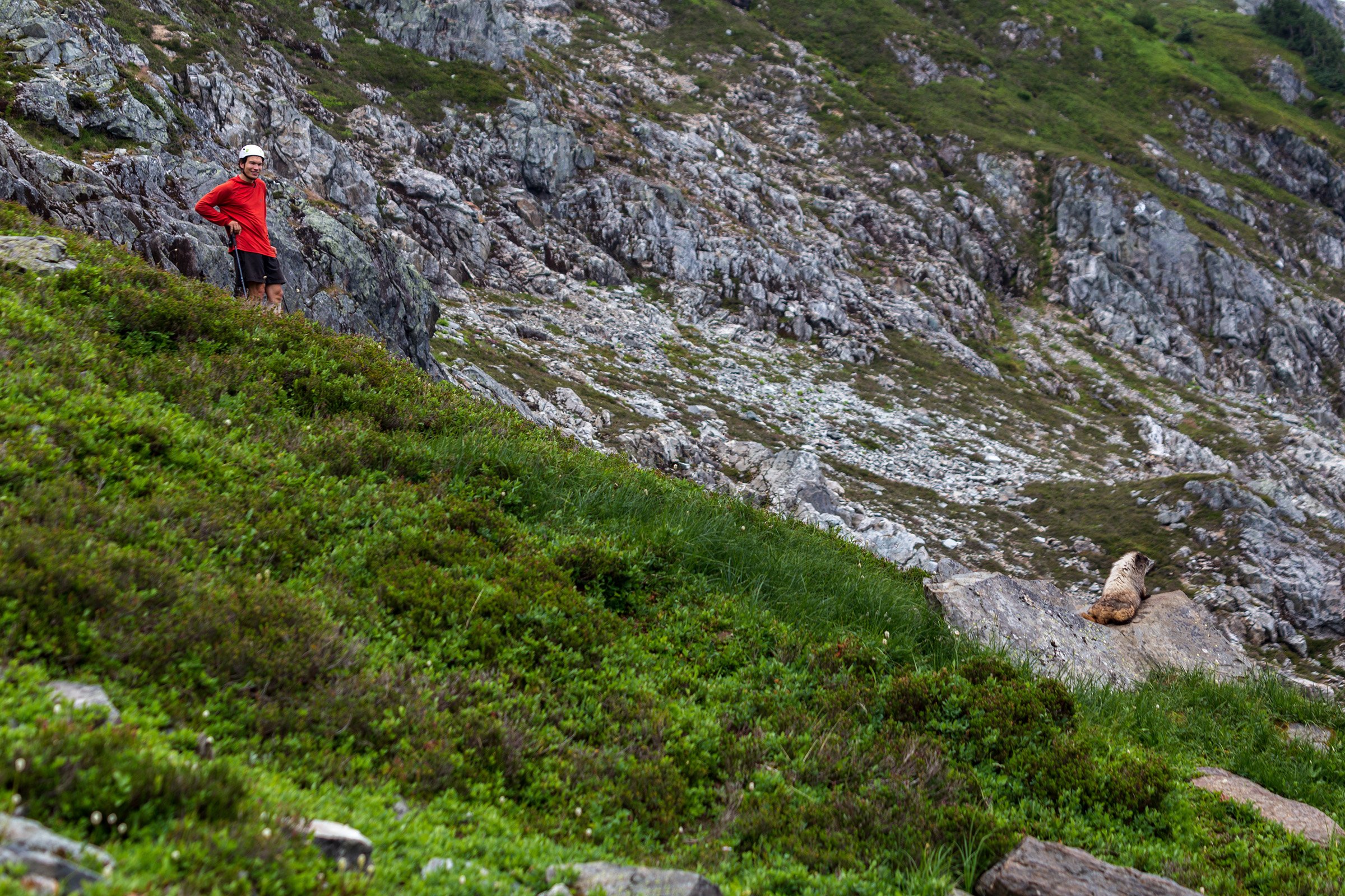
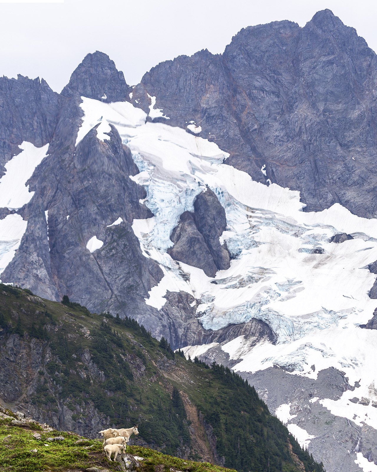
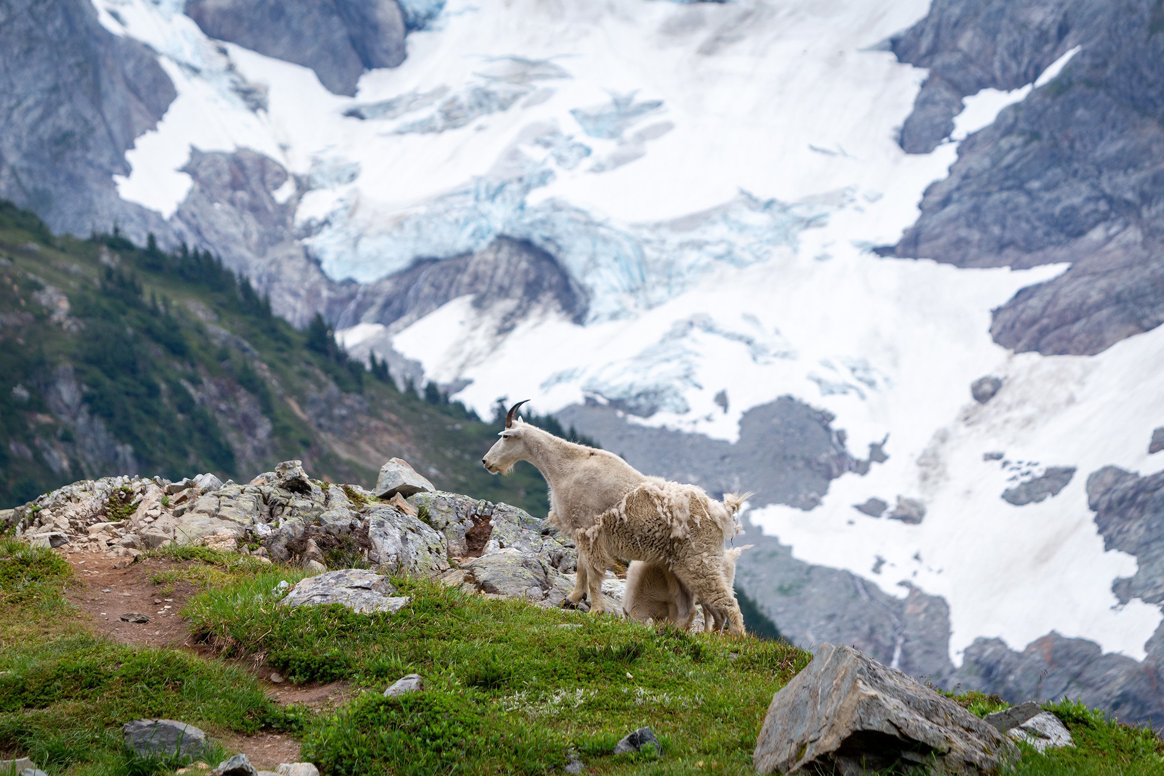
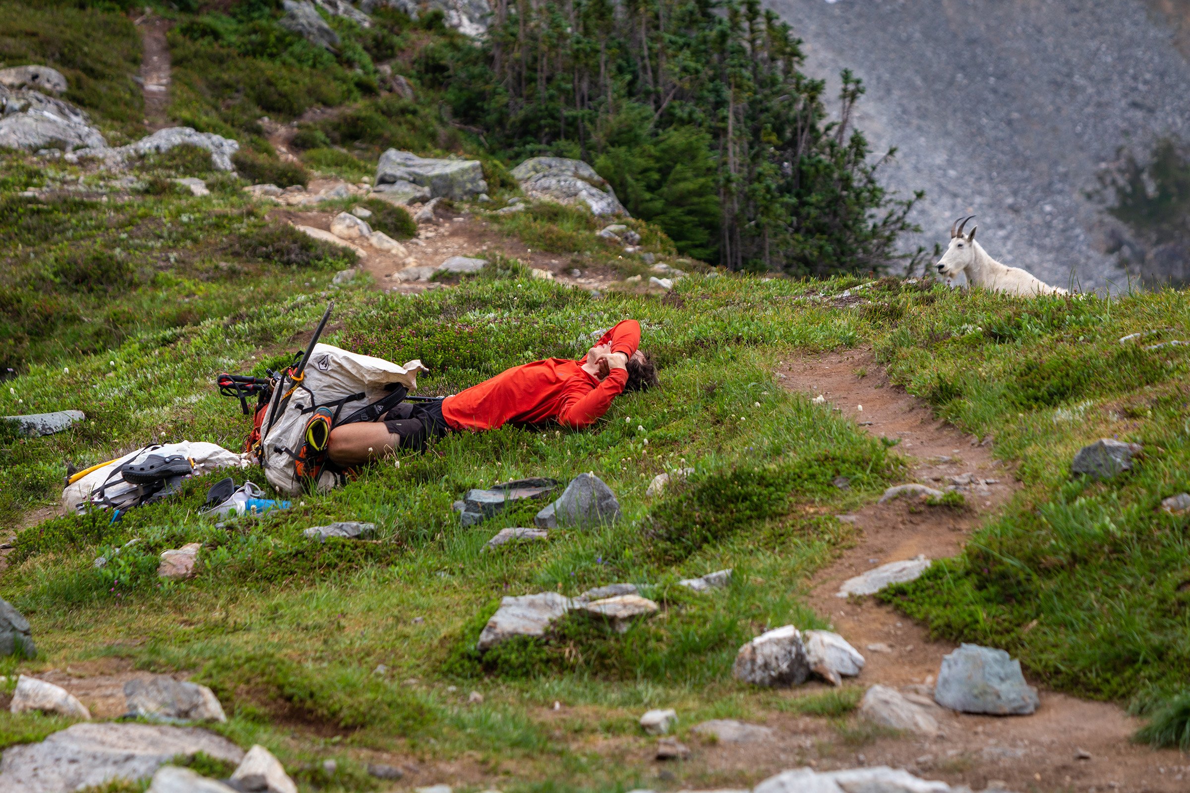
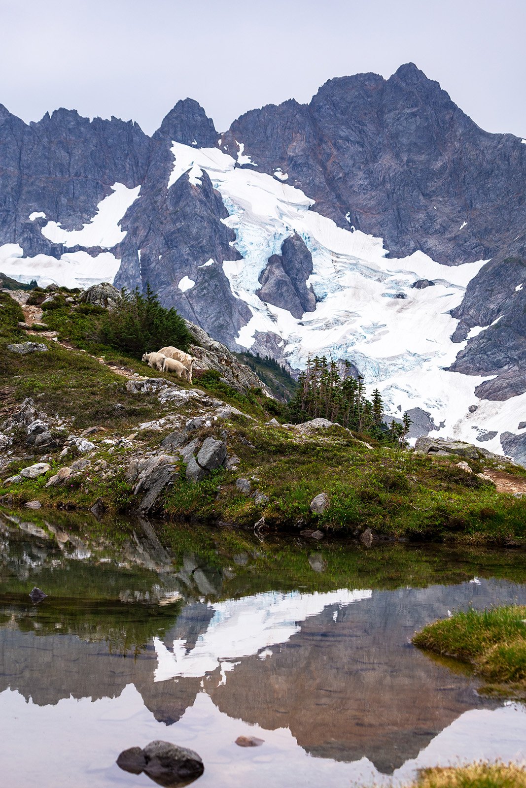
In short order we’ve arrived at what many consider the terrain crux of the route. The Red Ledges are infamous for being a Class 3 step just after Kool-Aid Lake, but standing before them I’m somewhat confused by their notoriety. I guess at certain times of the year a moat opens up and prevents easy access from snow to rock, but other than my ice axe deciding to go sledding (Anthony thankfully saved it before it got too far) and maybe one or two uses of our hands, the transition is trivial and soon we’re face to face with the Middle Cascade Glacier.
The infamous Red Ledges
Passing this “crux” was trivial in today’s snow conditions
Traversing along the west face of the ridge that connects Art’s Knoll and Spider Mountain we come across a set of tent poles. Whose poles are they? How long have they been here? Do we really want to carry them another 30 miles out the traverse? Eventually, "Always Light Pack" Anthony decides to accept them as a goodwill gesture and we plod on (slightly heavier). Tragically, we don’t get to traverse the really cool, dangerous sections of the glacier where at 6,200’ it crashes down in a blue ice waterfall, but you can’t have everything. By the time we actually hit the glacier at 6,600’ everything is nice and snow covered and most crevasses are fully sealed. Using a SAFETY FIRST mentality we decide to rope up and as the resident noob when it comes to glacier travel I need multiple reminders about which knots to use. I’m also selected to lead, reportedly for my route-finding prowess, but in my opinion almost certainly because I’m the most disposable in a rescue situation (and maybe just in general). I try to keep a steady pace as we climb and then cut across the mostly flat upper section of the glacier at 7,300’.
Anthony makes an appearance in front of the Middle Cascade Glacier
At least through the heather the “trail” was quite clear
That’s a nice icefall!
It looks like toothpaste!
It’s Dome! Oh, wait! It’s Sentinel!
Other than some house swallowing crevasses up top, there’s not too much danger and I lead us confidently to the clear and wide break in the rock on the right. Clearly my route finding skills were top notch as I get up to this notch and realize that I have indeed lead us to the wrong place. I make sure to wait until after the other two have taken off all their glacier gear to let them know my error. So it’s back on to the glacier (this time without ropes) and a slightly roundabout path to the correct col (much narrower and snow covered, but somewhat more doable).
A rope probably isn’t essential early season, but I wouldn’t risk it
Maybe not quite house swallowing, but close!
Reportedly every pass you cross through the views get better. It’s hard to improve on a view that already a 9 out of 10, but I’m not denying it’s the case. From this Spider-Formidable Col I see the glaciers of Dome—nope, sorry, not yet—Sentinel Peak and the turquoise lake at the base. Even in shitty light this is incredible! A whole world isolated from trails and human structures, filled with wonders waiting to be discovered. The snow is still too hard to plunge step down as we enter the valley, but Ken really wants to get down quickly. All of a sudden his crampons have lost purchase and he’s sliding towards the rocks at the bottom of the snowfield. He doesn’t actually fall very far, but it’s the first time I’ve ever witnessed someone use their ice axe to self arrest. Who would have thunk that ice axes were actually a useful tool?
Probably the steepest snow of the entire trip (and it still wasn’t bad)
Traversing over to our campsite for the night (just below the dip on the center right)
With that excitement out of the way we reach mellower snow and start searching for a place to camp. This summer Anthony has really drilled a love of peakbagging into my soul and so I’m gunning to climb Formidable the following morning (especially since I have no hope of convincing anyone to head up the miserable choss heap of Spider Mountain to the east). That hope, in addition to looking for a better, more alpine view and fewer bugs than the traditional second campsite, has us set-up on the shoulder of Pika Peak and only a couple hundred feet below the pass over to Formidable. There may not be a lake here, but otherwise it is an ideal location. The view towards Sentinel remains spectacular, we only have a short stroll up to see sunset. In addition there’s a perfect spout of water only a couple dozen feet from our camp. I’ve never heard of anyone camping here, but it may be one of the premier late season spots on the traverse!
I’ve had worse views from camp
We’re in camp before 5 p.m. which gives us plenty of time to chat and watch distant thunderstorms cruise through the sky. As the evening progresses the light continues to improve so that our drab overcast gains a little character. Small holes open up and let down heavenly light on the glaciers and peaks out to the east. A goat head pops up above the cliffs to our right (oh, great, they're following us!) and two of them wind their way down the slope. I know I said I didn’t think I’d ever get tired of these majestic creatures, but these ones certainly are tenacious. Like bears they seem to have discovered humans offer a source of nutrients and are unwilling to stray too far from us. Even rocks tossed in their general direction refuse to phase these creatures so we just agree to pee far enough away from our camp so we don’t have to goat wrestle in the middle of the night.
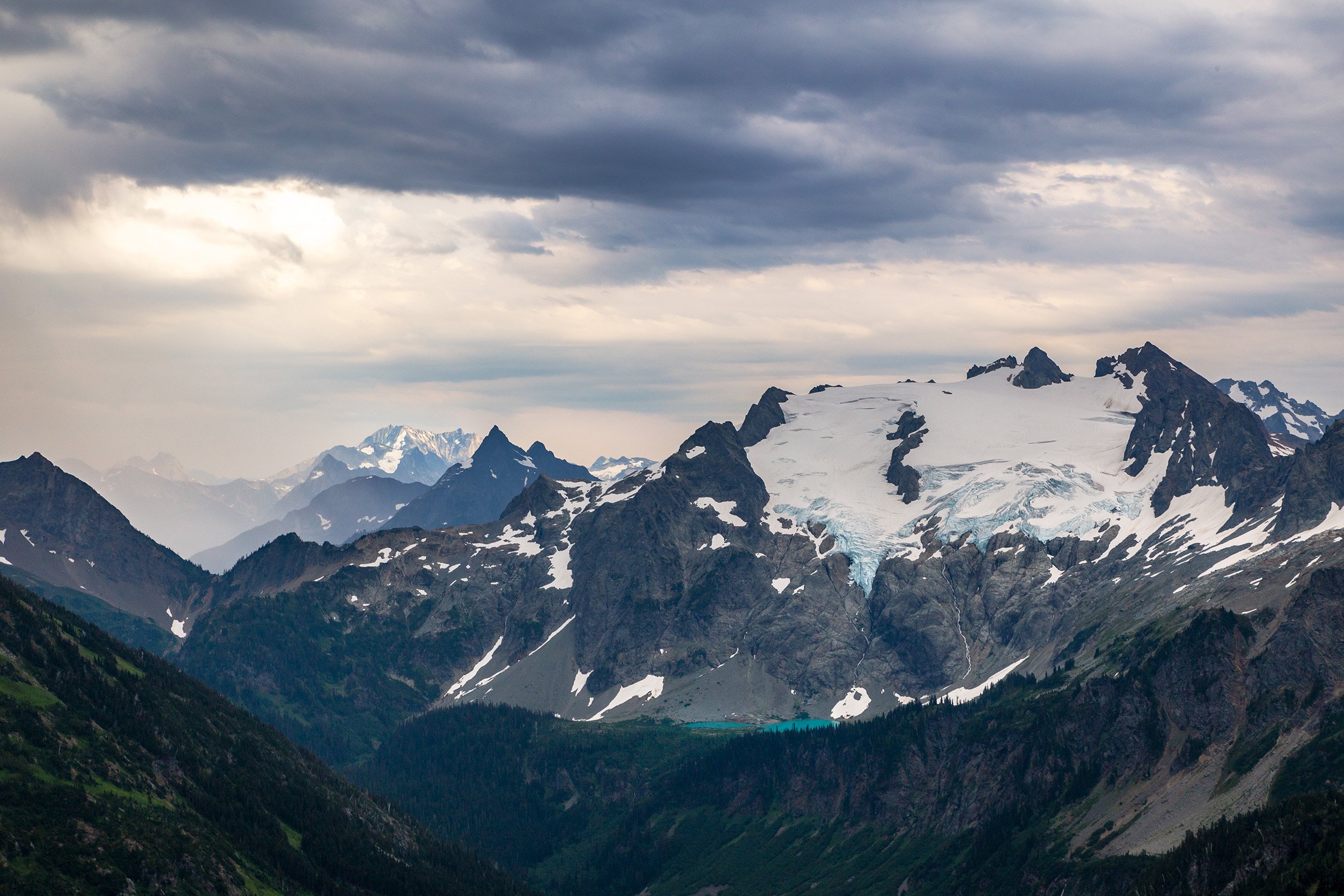
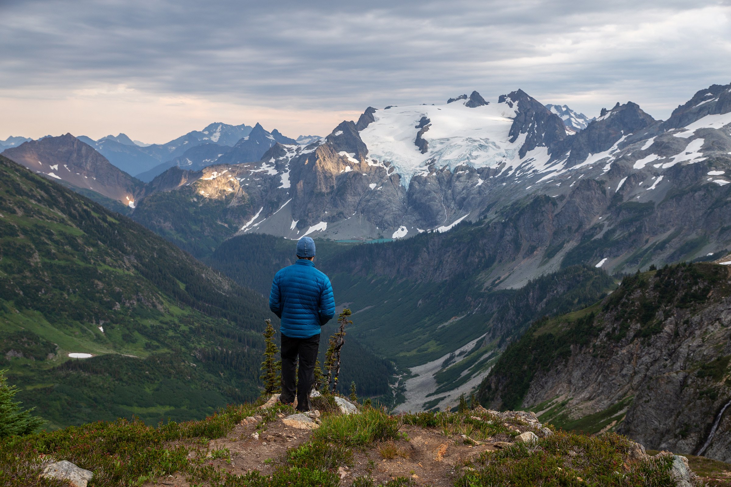
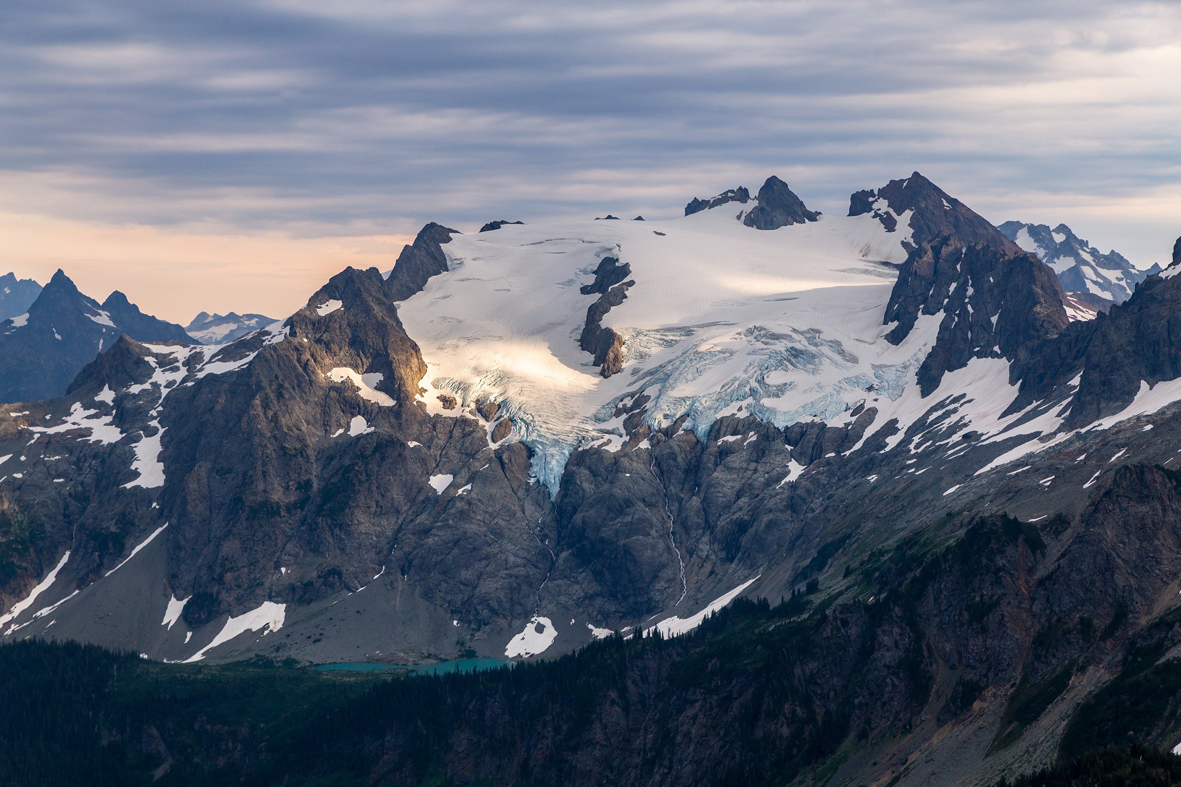
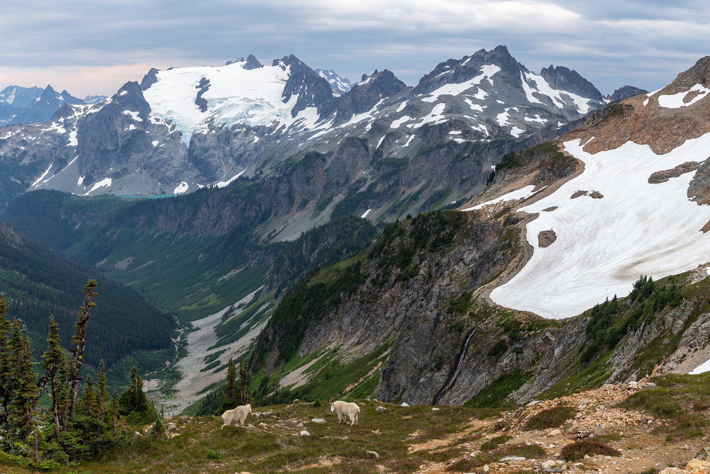
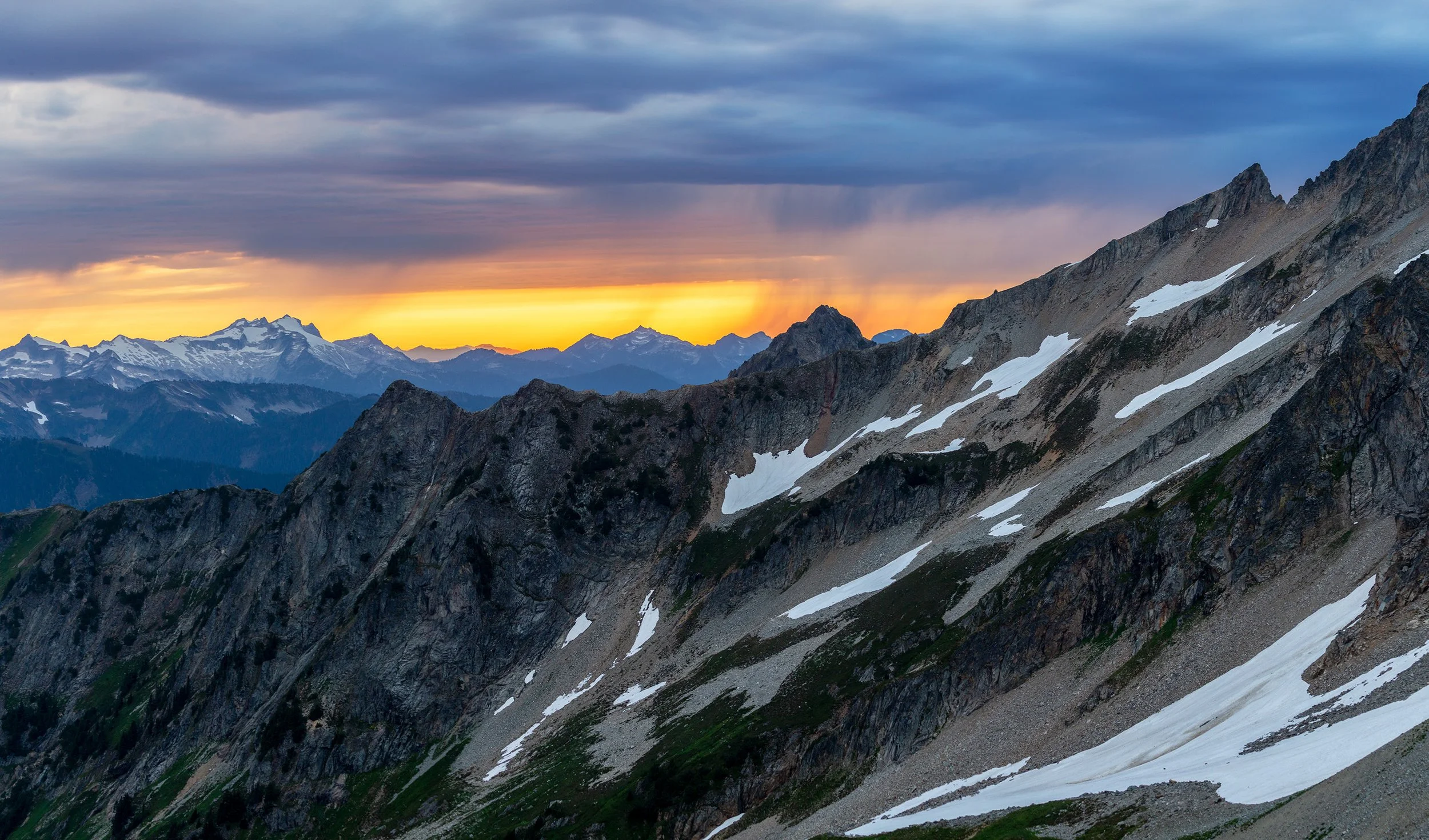
Our Jetboil quickly heats water for three dinners and we have one of those blessed evenings with only the rare, infrequent mosquito making an appearance. Sunset is not looking too good (all we can see is overcast), but we elect to hike up to the col a couple hundred feet above us anyways. I’m the first in the group up there and I let out a whoop of ecstasy. The overcast cloud deck extends as far as the eye can see, except for a small golden band of sky perfectly situated for the sunset. The evening goes from a total loss to having the potential for one of the most insane sunsets ever. We’re up there half an hour too early, but that allows the anticipation to build. Orange light spreading across Skagit county finally catches up to us and blinds us with its saturation. With every second the hue shifts. It’s gold, then orange, then red, then magenta sprinkling fairy lights along the crest of the Cascades. Unfortunately, a hidden band of clouds just barely lines the horizon so the base of the cloud deck doesn’t quite meet its color potential, but it still caps off an amazing day. Back at the tents darkness falls as I fall into my sleeping bag. Unusual for me I actually get a chance to read the book I brought, only setting it down every couple minutes to go chase off the goats from our camp.
Oh, yeah, this could be good!
Day 2: Formidable Glacier Views (Formidable Col —> White Rock Lakes)
Anthony and I wake up the next morning to broken clouds. Ken has decided to hang out around camp for an easier morning and Anthony’s not super enthusiastic about the Formidable climb, but he agrees to come. I almost lose Anthony again on the first loose gully descent. On the way back we’ll ascend the recommended steep heather slopes, but on the way out we just take it slow and down climb one at a time. Back on the west side of the Cascades we can see the marine influence in the valleys below. On the weak inversion floats the Buckindy Group and a couple of small high peak islands. With that as a backdrop we cut across the basin, crossing numerous small snow fields and loose scree fields. It’s not quick terrain, but it’s not particularly challenging as we make our way upwards to the loose class 3, south face of Formidable.
Excited for good weather today!
Sentinel is still there
Following an ascent of a steep permanent snowfield (crampons required) there are a couple different routes to the summit, all of them with a nontrivial rockfall hazard. We are glad to be wearing helmets as we alternate between climbing simultaneously and ascending separate routes in particularly loose sections. Before we know it we’re at the summit crest, but it’s clear the class 5 steps I’m trying to take on the north side is not the optimal route. With a little more exploring around we find the summit and bask in warm sunlight above endless peaks. The summit register reports this is a Bulger—one of the 100 tallest peaks of Washington.
Anthony poses against the wildly remote Buckindy Group
A Panorama to the North from Formidable summit. From left: Baker, Hidden Lake, Eldo and J-berg, Forbidden, Boston, Buckner, and more
The ascent took longer than expected so we unfortunately cannot remain suspended in the sky for eternity. The expected two hour roundtrip has been grossly underestimated as it took us two hours just to get to the top. Our return is not much quicker, but we manage to avoid throwing too many rocks at each other and as we make the final climb back up to camp. Ken is there wondering why it’s taken us twice as long as we thought and/or what sort of party we were having without him. He has graciously packed up the camp and kept the goats at bay so we’re quickly back on route on our way down to Yang Yang Lakes.
Back at camp, the goats have returned!
Or, maybe they never left?
Looking back towards our camp with Pika Peak in the middle and Spider off to the right
Yang Yang Lakes were prettier than I expected
The lakes are gorgeous—two gems set in amongst green meadows and trees. They're also bug magnets. The horseflies and mosquitoes are prevalent enough that by the time I’ve caught up to Anthony and Ken (after getting lost taking pictures again) they’re almost in and out of the water. With the warmth of the day the lakes are refreshing and I can’t imagine a more beautiful spot to camp…except for the spot we found last night. Sentinel looms large overhead as we dry off and begin our next climb of the traverse. As we’re leaving the lakes I realize I’ve lost my water bottle and filter somewhere. It’s not where we went swimming and as I sprint down the trail I begin to lose hope of finding it, but then, "THERE IT IS!", I see it caught on a branch left from a small bit of bushwhacking.
To catch up to the others my head is down and I’m powering uphill after reshouldering my pack. Then I hear a shout. I look to my left and see them way off the standard route. They yell to me they’re taking a shortcut to avoid extra elevation. This route winds its way through a boulder field and then climbs a gap in the cliff bands to join up with the shoulder of Le Conte Mountain. It tragically skips the 500’+ of gain from Peak 7004, but I guess we don’t have to climb every peak along the way. Soon we're walking on granite among tarns and snow and blueberries and we drop our packs at the base of Le Conte Mountain.
I didn’t really take any photos of the approach to Le Conte, but here’s looking backwards at the lakes
As we head up the snowfield we see two heads high above us on the peak. This time they’re not goats, but rather the first humans of the traverse. Are these the losers of the tent poles Anthony has had to brutally heft over so many miles? A quick shouting match between the two groups confirms that in fact they are the very same! I’ve never seen two happier human specks on a summit. They race down the peak as we’re headed up. We figure we’ll cross paths, but they take a different route and are down by the time we’ve gotten half way up. They’re headed to the same neverland paradise as us for the night so we figure we’ll encounter them again at camp.
Le Conte is not a particularly challenging peak, but the summit scramble is a little less trivial than we expected. What looked like it could be mostly a walk-up transitions to a class 3-4 climb especially along the final exposed ridge. It’s a nice bit of unexpected spice that leaves a tingle in our mouths and hearts in reaching the summit. Le Conte is pretty close to the halfway point of the traverse and offers spectacular views of the South Cascade Glacier. The South Cascade Glacier is one of the largest non-volcanic valley glaciers in the Cascades. It is the longest continually monitored glacier in the Western Hemisphere with measurements taken since 1957 and is one of the World Glacier Monitoring Service benchmark glaciers. The retreat of the glacier in the last half century is almost unfathomable. (More information and photos also available at Mauri Pelto’s North Cascade Glacier Monitoring Project)
We came up here specifically for this view and it did not disappoint
1953 image of the S. Cascade Glacier courtesy of Alpenglow
2005 image of the S. Cascade Glacier courtesy of Alpenglow
2022 image of the S. Cascade Glacier
In addition to the glacier we can see Lizard Col, the next pass we’ll traverse over and beyond, a peek of the glaciated views that await. The rest of the group is antsy to get into camp so we’re only on the summit for a minute or two before we must descend again. Back at the packs the traverse continues (yeah, with the ptarmigan and all the traversing this is one aptly named adventure) across snow and above the gorgeous Le Conte Lake. I won’t be the first to say it, but one of the most spectacular parts about this traverse is you can see hints of what is to come from the high points, and then the traverse sections are so long in between them that you really get a good feel for each mountain you pass. As we have headed south, Sentinel and its glacier have loomed ever larger and now they almost fill our entire frame.
A mist rises up from the permanent snowfields as we traverse towards Sentinel
Le Conte Lake would be another cool place to explore
Ken has sprinted on ahead (perhaps with his extra energy from skipping Formidable) so when Anthony and I reach the Sentinel Glacier we decide not to rope up. There is a clear set of footprints from the tent-pole-lackers followed by Ken, and we figure if we get too sketched out we can set up an emergency roping station. However, as we ascend we realize this may be the only glacier that actually warrants roping up this time of year. If the Red Ledges are the technical crux of the main traverse (I guess), the Le Conte Glacier is the seasonal crux. Every other glacier holds snow late into most years, but there’s a small section of Le Conte which melts out early. When we cross there is a couple hundred feet of blue ice (although the crevasses are pretty limited). In trail runners and aluminum crampons this is not the most stable experience, but the slope is not very significant and we make it through without issue. After that it’s a chill walk up the rest of the glacier to meet up with Ken and the other couple.
The Le Conte Glacier. On the left you can see the two guides making their way up the glacier
The clouds are moving in with Old Guard in the background
The couple turn-out to be guides who lead climbing groups up Mount Baker. They thank us profusely for saving their tent and show us a picture of their jerry-rigged tent set-up from Yang Yang Lakes the previous night. We chat for a while at this pass, but the weather is a changin. Blue sky has been replaced by gusty winds and thick fog in the blink of an eye. The change started with just a bit of haze above the snowfields, honestly providing really atmospheric lighting, but now it threatens to swallow us whole. Sentinel disappears completely and a cool, moist wind rips over the saddle originating in the depths of South Cascade River Valley.
The full extent of the South Cascade Glacier. The moraine lake is on the far right while Lizard Col is the low point in the center left
As a group of five we all cross the snowfields below Sentinel together, surmising by the flowing water and glistening ice that we’re actually on the edge of very small glacier. The clouds swirl around us. Some moments I can’t even see Anthony in front of me. At others I can see all the way down to the chameleon hued South Cascade Lake. At a glacier monitoring camera we leave the guide couple behind and drop down to the flat glacier. This is another glacier where we decide roping is not essential, but also not a bad idea. Then it’s a few minutes tromping through the glacial mist before we reach Lizard col and we’re flabbergasted once again.
The first view of heaven on earth
This moment (and the hours that will follow) are everything I’ve been waiting for. White Rock Lakes is known (with reason) as one of the most beautiful spots in the Cascades. Located at 6,000’, the lakes are separated by a small rocky ledge from the Agnes Creek Valley. The outlet of the lake cascades over the rocks in a stunning multitiered waterfall which faces the north side of Dome Peak. There the Dana and Chickamin Glaciers, some of the larger glaciers in the North Cascades, hang tight to the striped, rocky walls of their cirque. Innumerable waterfalls pour off these peaks into the valley below. It truly is an alpine paradise. We’ve arrived in time for the lakes to be mostly melted out and the purple Monkey-flowers to be blooming. A solitary tent lies hundreds of feet below, welcoming us to our home for the night. Despite the steep entry price it’s certainly a place I hope to return to time and time again until I’m incapable of making the trek out here.
I’m so enchanted by the area that by the time I make the loose descent down and past the first lake, Anthony and Ken have already set up camp. Soon afterwards the sun drops below the western ridge, but it clings stubbornly to the face and then the top of Dome for many more hours. I can hardly decide what to capture first. The waterfall? The lakes? The glaciers? The flowers? I also think about going for a semi-frozen swim (Anthony has already dunked), but the lack of sunlight and chilly wind that skirts across the lakes discourages me from getting any colder.
Looking across to Dome for the route we had planned for tomorrow, it seems improbable. If we really wanted to summit the almost 9,000’ peak, we would have to wake up long before sunrise and cut across a number of bare ice glacial patches to make it up to the 8,000’ col where we could cross to the Dome Glacier and then make the final summit push. And then we’d still have to descend and do all the bushwhacking we already had planned for tomorrow to escape out Downey Creek. Even for a motivated group it seemed improbable, and Anthony and I decide to call it. We’ll certainly be back here (hopefully with less of a time crunch) or maybe we’ll approach from a different route. I’m kind of happy to get that decision out of the way because it means I’ll be able to shoot sunrise from the lakes! But first, sunset.
As the water is boiling for dinner I get a little distracted by evening color spreading on the clouds. The eastern sky grows orange as I sprint around trying to capture as many different perspectives as possible. Clouds are popping off in color in every direction! Fuchsia! Lilac! Tangerine! Peach! And the light just isn’t lasting enough time. Before I know it the color is gone and I find myself talking to our camp neighbors, Kyle Loria and Brad Geyer, both of whom are photographers I follow. We marvel in this unworldly place as the light fades and the sky goes dark.
When I get back to the tent my food is cold, but it’s hardly important. In the backcountry calories are calories. Ken and Anthony are already settling into bed, but with partially clear skies my night is just beginning. The Milky Way should line up well with the glaciers across the valley and anyways, how could I not take a moment to sit and drink in this experience of a lifetime. Colors and stars wink into existence. Every couple minutes a meteor streaks across the sky, and then about 9:30, what is that? A strange line of lights moves in unison across the heavens. I've learned from many false scares over the past couple years that if you don’t know what you’re seeing in the night sky, it’s likely SpaceX. And sure enough, it turns out to be a newly launched Starlink train. I guess the night sky can’t be like the wilderness it once was, but other than that sign of technology we could be existing at any point of history and in any glaciated wilderness. There is no sign of human lights and even the use trails around the lake disappear in the darkness. The Milky Way fades in and out as the clouds dance eternally above Dome Peak. I’m at peace.
Day 3: Paying a Toll to the Forest Troll (White Rock Lakes —> Downey Creek TH)
The nice aspect about late August is the longer nights. Don’t get me wrong, I’ll take all the daylight I can get (by September the days already feel way too short), but it’s nice you can stay up and watch the stars, get a solid night’s sleep, and still wake up for sunrise. I’m up just before 6 in the still morning air. For the moment it’s completely calm and I clamber out of the tent realizing that means there may also be an opportunity for reflections on the lakes. After hopping across the lake outflow a couple times, I find a perfectly still body of water reflecting Dome Peak in the background. Five minutes later the wind has started up again and the reflection has dissolved into ripples and vibrations.
There’s nothing better than first light
This waterfall was one of my favorite small details of the trip. It’s rippling shadow on the rock was otherworldly
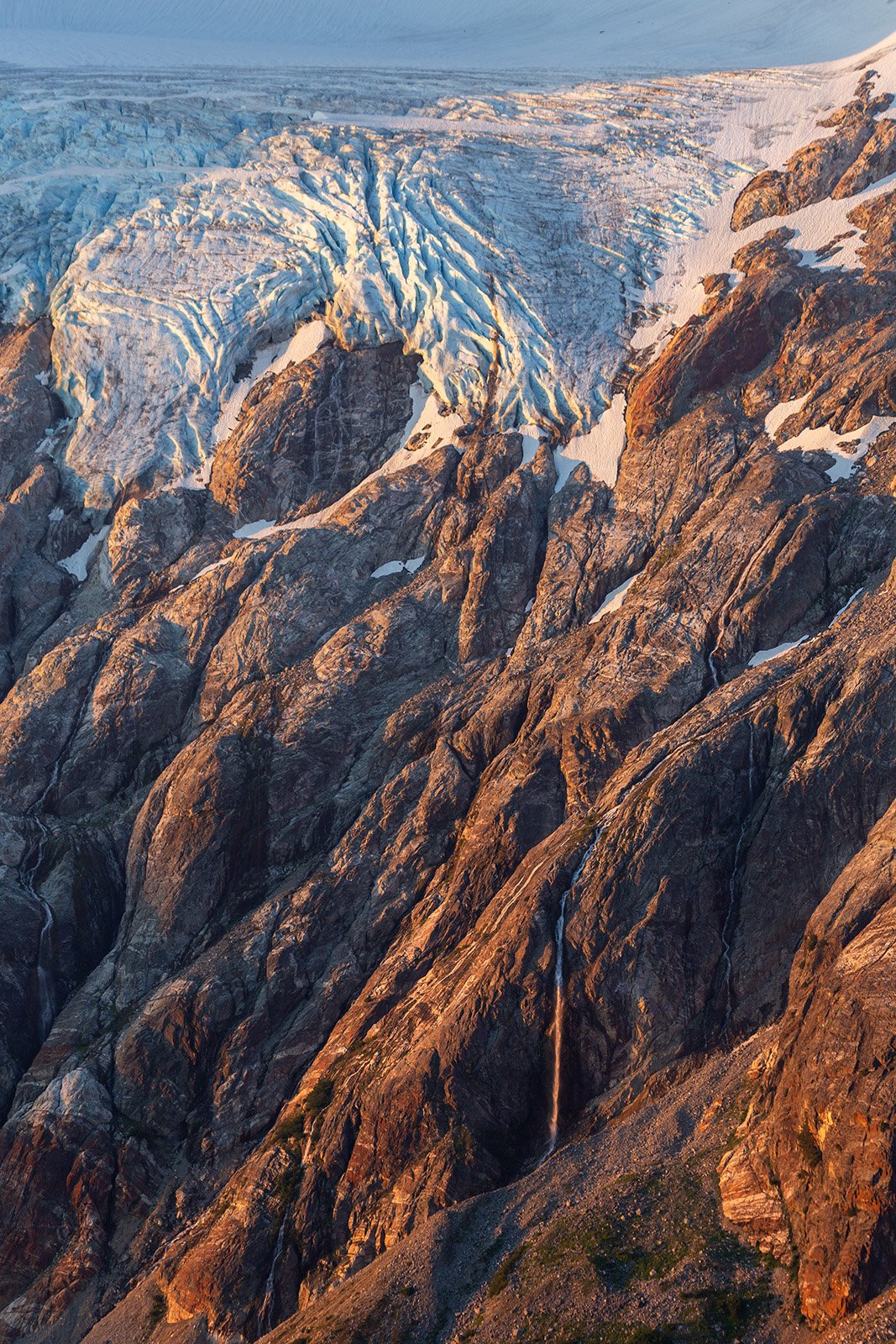
The first sunlight on the glaciers is wavery and orange. It contrasts nicely with the cyan hues of the morning ice as each crevasse is thrown into greater relief. The largest waterfall across the valley separates enough from the cliff that it catches the sunrise light, throwing a shadow on the rocks behind it. It’s entrancing to watch the surges of spray be illuminated and bring the scene to life. As light fills the cirque Anthony and Ken wake up and we begin preparations for our final day. Even without the attempt on Dome it will be big. We only have a couple thousand feet to climb and a single glacier to cross, but after that we will face the unknowns of the bushwhack. Reportedly it’s quite unpleasant, but it’s always hard to tell how different individuals interpret different levels of difficulty. Regardless, we steel ourselves for the challenge.
We actually managed to get one nice group shot on the trip!
And one not so nice
Saying goodbye to paradise
By the time sunlight floods our campsite we are on our way. The route cuts across the meadows and boulders at the head of the Agnes Creek Valley and then heads up postglacial terrain to ascend snow fingers in the spaces between slabs. From White Rock Lakes the terrain looked almost impossibly steep, but there’s something about distance that seems to increase improbability. By the time we’ve reached the snow, it’s not particularly steep nor particularly hard to cross. In fact the most difficult aspect is deciding when to take off or not take off the crampons for crossing the small rock ridges. We reach the northern lobe of the Dana Glacier and with continuous coverage (and moderate terrain) we decide not to rope up.
We have to traverse all the way to the low point slightly right of center
Heading up the Dana Glacier with the part we had already traversed laid out behind us on the left
As we ascend the glacier up to the high point of the standard route near 7,800’ the entire northern section of the traverse expands out behind us. We can see Sentinel and Le Conte and Spider and even all the way out to Boston Peak above Cascade Pass. As we crest the Spire-Dome Col we get a good view over to the west side where the morning marine layer is gradually dissolving. Glacier Peak is front and center. The mountains continue to the south and you can even continue along the Extended PT, but looking to the west we can see the last pass we will cross over before our exit valley. The next 2,500’ of descent are a mixture of post glacial loose rock, snow, and eventually meadows. Like most places in the western Cascades you never have to worry about running out of water, but this is especially true due to all the glaciers on the PT. We follow newly uncovered sediments and sandy drainages to the Itswoot Ridge Camp. Dome Peak, a less imposing but still impressive view, greets you here for the last time. Then it’s a winding route down through heather and even some boggy terrain to the ever-so-blue Cub Lake.
There are fewer mountains now between us and Glacier!
At the lake we stop for a refreshing swim. It’s the lowest lake on the traverse (about 5,300’) and by far the warmest. It’s even pleasant to jump in! Ahead of us we have almost 13 miles of unpleasant exit with limited views so we relish the last moments of alpine beauty. The climb out of Cub Lake is steep, but not too bad. It’s populated with large, juicy blueberries so I fall behind a little as the boys continue on. The 5,800’ Cub Lake Pass is the last uphill on the trek and shortly afterward we hit the decommissioned Bachelor Creek Trail. As far as unmaintained tails go, it’s in fantastic shape in this upper section. An easy descent through high alpine meadows and then forests (with a couple blowdowns to climb over) eventually leads to the 4,500’ mark in the Bachelor Creek Basin. This is where things get tricky.
Above Cub Lake with Dome on one side and Glacier Peak on the other
The trail officially stays on the south side of Bachelor Creek, but was obliterated by a massive avalanche more than a decade ago. The brush starts thin, but gets progressively thicker and thicker until we think that it couldn’t possibly get worse. Every so often the trail branches and we’re left (even with a GPS track) trying to decide which sees the most use. Frequently every fork leads to a dead end in a wall of slide alder that rejects every effort to penetrate. We switch off leaders and thankfully it’s Anthony that wanders into the nettle thicket early enough to warn the rest of us. We thrash and bash and crash our way through as progress slows to less than one mile an hour, but eventually we make it to the Bachelor Creek log crossing (4,100’). We have a few additional scrapes and stings, but otherwise we're in one piece. Reportedly there may be a slightly easier route on the north side of the creek, but I cannot validate this from experience (it couldn’t get much worse than the south side though).
The dreaded Bachelor Creek Valley
At least there were some flowers and berries on the Bushwhack
We are now through the worst part of the bushwhack (except for perhaps the burned section at the end), however, calling what follows a trail is still generous. It’s frequently flagged, but that doesn’t mean there aren’t wrong turns to be made. Roughly every mile or two we reach a new avalanche path or blowdown that has decimated the trail and we have to find our way through the mess of broken wood back to the route. In general, if the trail disappears it’s because of some disruption (ie a tree fall) and it picks up shortly afterwards on the other side, but this is not always easy to see. But we continue to make good progress with Ken "The Powerhouse" Tharp taking a fast paced lead and we make it down to the last stage of our route, the Downey Creek Trail.
The burned sections was okay!
Anthony and I are excited to separate the forest from our skin so we both dunk in the cool water of the creek. My feet are so wet and muddy from all the terrain I’ve crossed through that I’m plunging in fully clothed. Then we’re on the trail to attack the blowdowns. It’s clear someone loved the Downey Creek Trail a lot. There’s hand cut bridges placed over every stream or mud pit and the tread is quite nice. It’s also clear that whoever that person was, died a number of years ago. While Downey Creek was much better than the Bachelor Creek Trail, it is still quite brushy. I place my poles in front of me to keep the continuous barrage of salmonberries from taking my eyes out. Every couple hundred feet there’s another tree down across the trail. They’re not difficult to get over, but pace disrupting nevertheless. I think we have eight miles on this trail, but then I realize I’ve accidentally added two extra miles. Six miles is still a long ways, but not too bad in the scheme of things.
The last mile is the most questionable section. There was a fire here in 2020 that closed the trail for a couple years. A report from someone last year said the area had been annihilated and had featured hundreds of downed trees. I’m ready for the last mile to take an hour, but then we get to a fresh pile of sawdust and a cut log. And another one! And another one! The forest service have saved the day! Really, what they appear to have done is the absolute minimum to make the trail hikeable again. There are notches cut in some of the trees so you can step over them and most of the trees you still have to duck under remain. So not a walk in the park by any means, but so much better than I feared. In about 2 hours after we first dunked in Bachelor Creek we’re back to our car!
So now we’ve come full circle to our dilemma. We’ve driven a quarter mile from the trailhead and are stuck behind a fallen log. Oh yeah, without a saw. Thank god for modern technology, we all have satellite messengers so we know we can get help, but the question is how quickly it will arrive. Anthony reaches out to a number of his friends scattered throughout the area, but when none of them respond I send a message out to my mom. She’s at least 2 hours away, but is our best bet for escape. Anthony has an idea to jog the mile plus to an intersection with the Green Mountain Trailhead to catch any sunset hikers, but as darkness falls we have no luck. We stumble back to the car and wait for the headlights of the parental chariot to show up.
Damn. If only we could fly as well as we could traverse like a Ptarmigan
After my mom rescued us with a chainsaw, Ken made quick work of the log
Me remembering to grab a saw next time (courtesy of Anthony)
Just after 10 p.m. my mom arrives. She brings a saw and an electric chainsaw! Ken "Macho Tools Man" Tharp makes quick work of the tree. In less than a minute we have it cleared from the road. What are mom’s for if not driving 4 hours roundtrip just to make sure you can come back home? We speed on back up to Cascade Pass where we arrive around midnight and then it’s another 2 hours for the return home. After I drop Anthony off, this definitely becomes one of those drives I slap myself to stay awake and get out of the car every so often to keep the energy juices flowing.
So yeah. That’s the Ptarmigan Traverse in three days. For me it’s definitely unrivaled in Washington State. I’ve never gotten better pictures, picked up more mountaineering experience, and enjoyed more stunning views than these three days. It’s hard to imagine better conditions, but you can be sure I’ll be back with different people and for different peaks and once again to experience the magic of the Glacier Peak Wilderness. Oh, and always have a saw in the back of your car.


